


Product Details
+
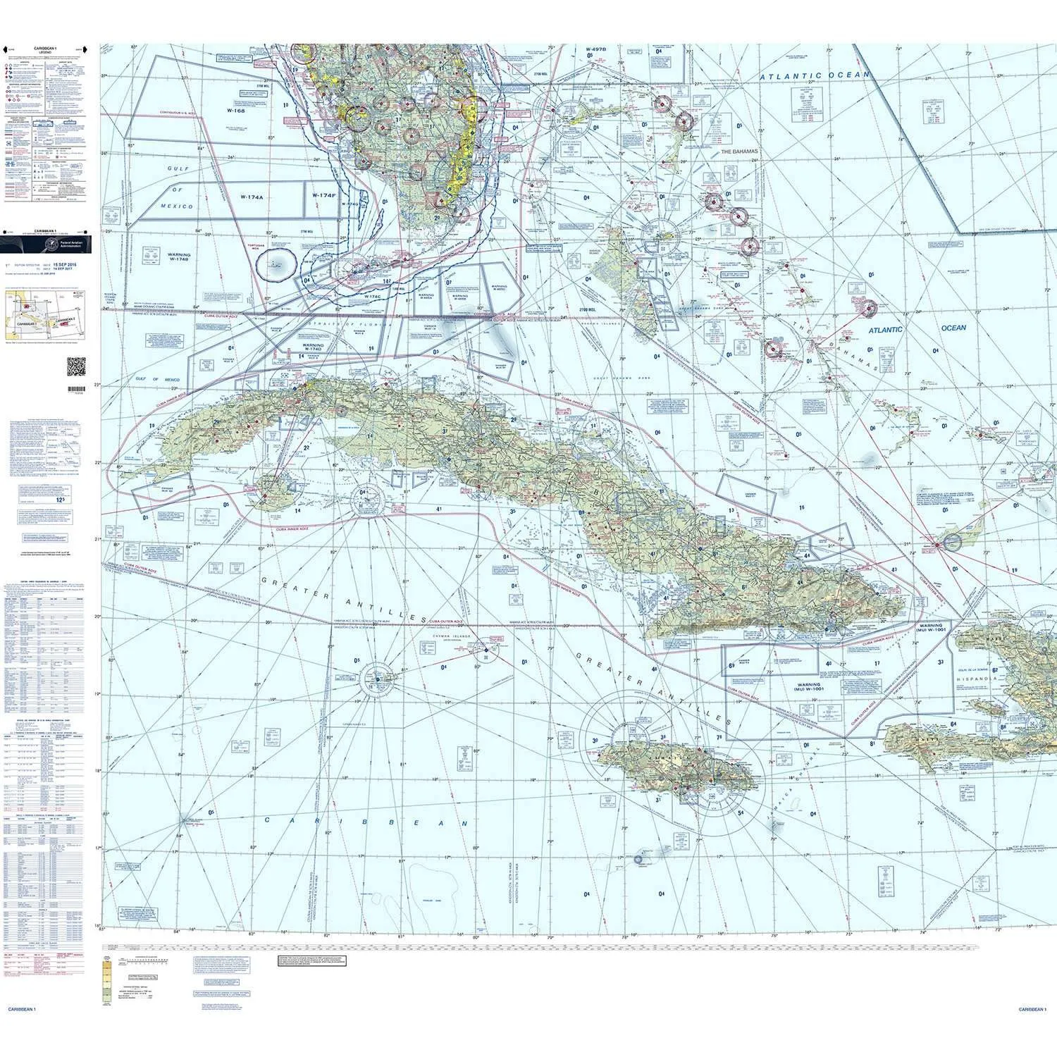
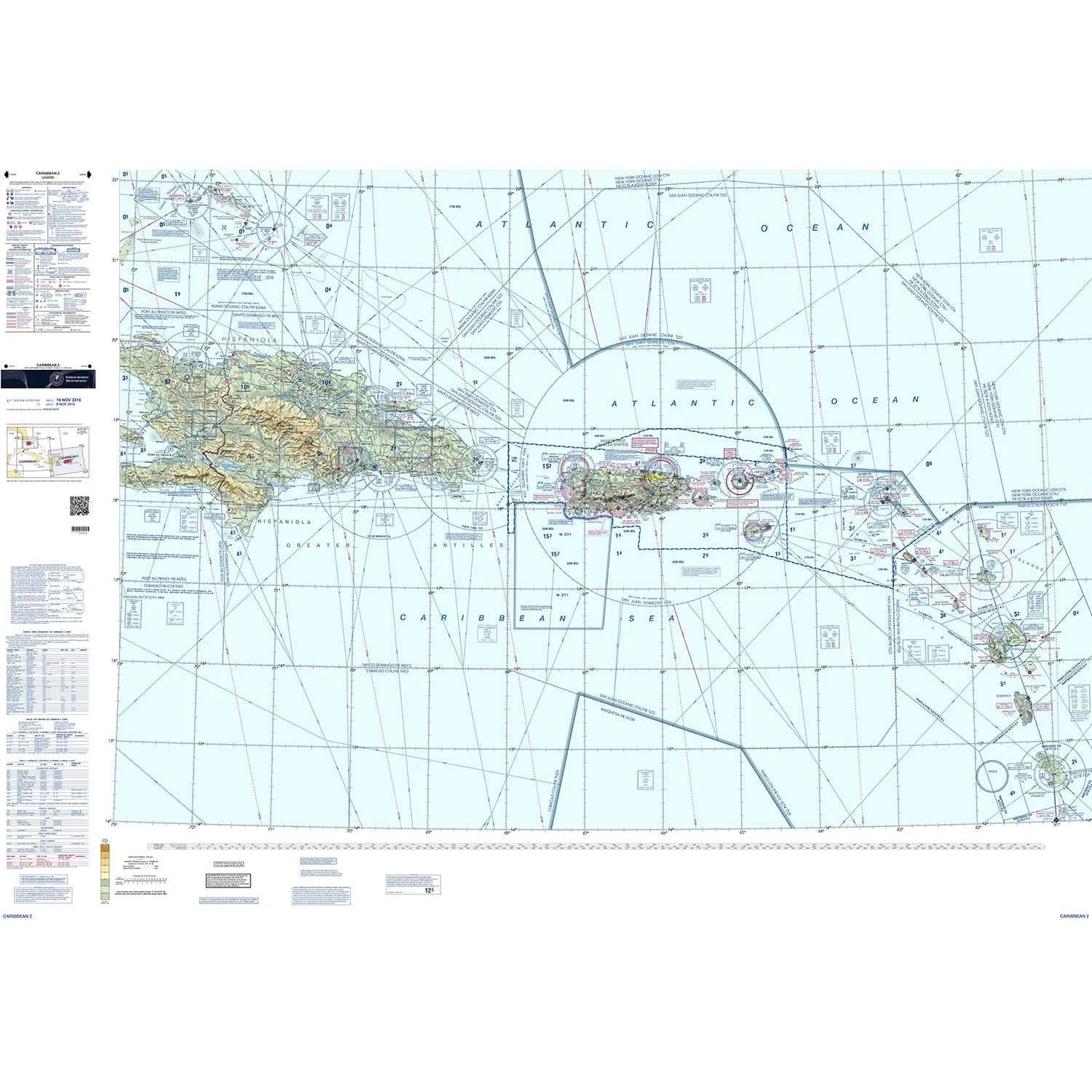
Caribbean VFR Aeronautical Charts 1 and 2 (CAC-1 and CAC-2) are designed for visual navigation to familiarize foreign aeronautical and topographic information. The aeronautical information includes visual and radio aids to navigation, airports, controlled airspace, special-use airspace, obstructions, and related data. The topographic information consists of contour lines, shaded relief, drainage patterns, and a selection of landmarks used for flight under VFR. Cultural features include cities and towns, roads, railroads, and other distinct landmarks. CAC-1 has been revised annually and consists of two sides measuring 30" x 60" each. CAC-2 is revised biennially and consists of two sides measuring 20" x 60" each.


![Veratron 52MM (2-1/16") ViewLine Boost Pressure Gauge 2 Bar/30 PSI - Black Dial Round Bezel [A2C59514149]](https://www.smartnavigat.shop/image/veratron-52mm-2-116quot-viewline-boost-pressure-gauge-2-bar30-psi-black-dial-round-bezel-a2c59514149_9n4646_285x.webp "Veratron 52MM (2-1/16\") ViewLine Boost Pressure Gauge 2 Bar/30 PSI - Black Dial Round Bezel [A2C59514149]")

 QSFP-40G-AOC20M-AO")
